
Holland Township Neighbor Block Sources
Holland Township neighbors are best researched from parcel-by-parcel evidence. Ottawa County’s GIS establishes which polygons sit beside or across from the subject parcel. The property roll then gives the public owner, mailing address, site address, property class, legal description, and other displayed details. Deeds place an ownership transfer in time. Voter and precinct tools supply far narrower information, while the community layer adds public civic and historical context rather than a roster of everyone on the block.
| Source | What It Shows About a Block | Access |
|---|---|---|
| Ottawa parcel GIS | Adjacent geometry, parcel identifier, and public parcel attributes | Public map/service; click, select, or use a buffer where available |
| miOttawa property search | Owner, mailing and situs address, value, class, PRE, legal description | Public search by house/street, owner, or parcel |
| Register of Deeds | Recorded owners, legal descriptions, and document trail for each parcel | Free index; images cost $1 per page plus charges; 200-result cap |
| MVIC or QVF | Known-person registration evidence or a written-data route | MVIC personal search; protected fields and request rules apply |
| Township maps | Precinct, zoning, future-land-use, and civic geography | Public Holland Charter Township maps |
| Permits and public notices | Project, site-plan, work, owner-agent, or meeting context where in file | Community Development or focused FOIA request |
| Herrick and Holland Museum | Historical households, organizations, obituaries, images, and local context | Onsite, request, archive, or library access |
An owner name is not a list of Holland Township neighbors, and a mailing address may be a correspondence address rather than the property location. Keep site address, mailing address, and Government Unit in separate columns. That discipline matters around Holland because a postal “Holland” line may be in Holland Charter Township, the City of Holland, Park Township, Olive Township, or another nearby jurisdiction.
Set the Holland Township Neighbor Boundary
“Neighbor” is not a legal parcel category in Holland Township. Define the geography before opening records: parcels that share a boundary, parcels directly across the street, or parcels within a stated distance. The rule should stay the same throughout the search. A road, drainage tract, association common area, condominium parent parcel, or non-household parcel can sit between homes, so the map should record that condition instead of forcing it into a household result.
Open the Ottawa County Parcels Public layer to see the countywide parcel service used for block geometry.
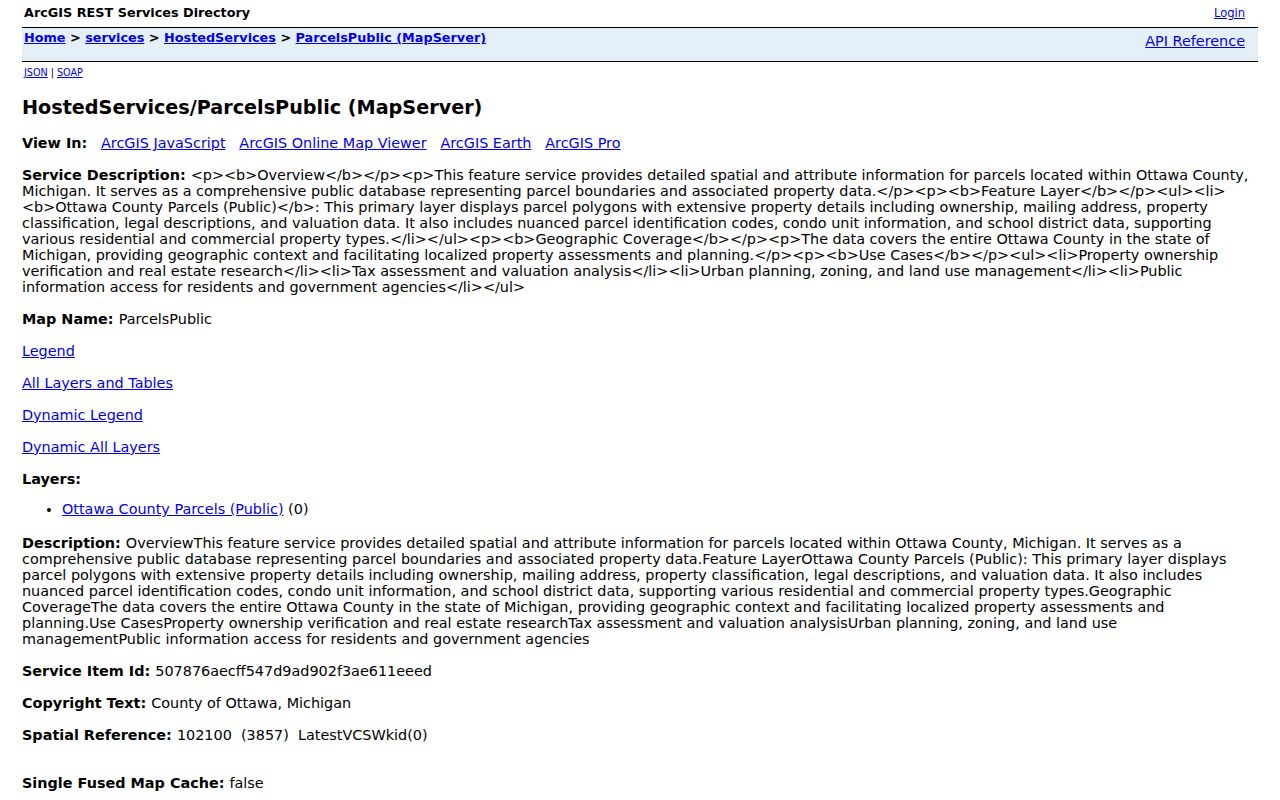
The public layer supports return geometry, pagination, and distance queries. It is useful for showing adjacency, but a parcel’s owner and address should be confirmed on the related property record. Use one date of access for the whole block because owner and mailing fields can change between clicks.
Map Holland Township Neighbors by Parcel
The adjacent-parcel process turns one Holland Township address into a documented block view. Start with the subject’s FinalPIN, then move outward through polygons. FinalPIN is the county parcel key. It gives the record trail a stable reference when an address is abbreviated, a lot has no normal street number, or a condominium needs a master-deed or plat check. Do not label a nearby parcel with someone else’s house number when the map does not supply one.
- Search the subject address in miOttawa property search, record the FinalPIN, and confirm the Government Unit.
- Open the county parcel map, zoom to the subject polygon, and click parcels sharing a boundary or located across the street under the rule you set.
- For each neighbor parcel, record the parcel number, situs address, owner name, mailing address, property class, school district, legal description, and displayed PRE or values.
- Open the property card for sales or split history. When ownership history matters, search the deed index by parcel and segment date or document type if results are broad.
- Mark a road, common area, vacant land, condominium unit, or parcel outside Holland Township as such instead of calling it a household.
The Ottawa County property-mapping service offers another parcel-map view for this workflow.
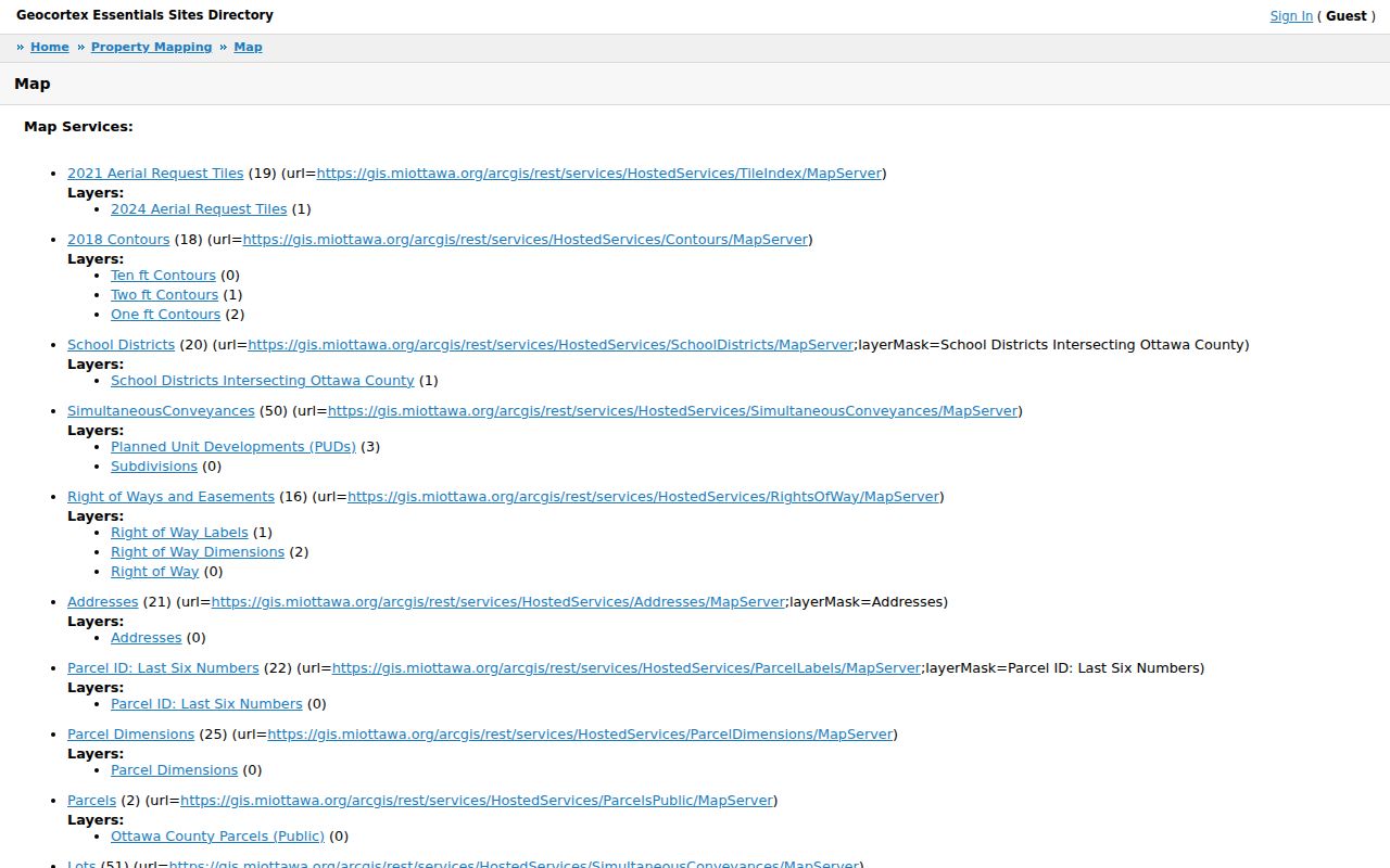
Use the visual map to locate surrounding polygons, then rely on each property card for the fields that establish the parcel record. For an entire named road and its fuller deed trail, the Holland Township By Street directory keeps the work organized by street rather than by the immediate block.
Holland Township Parcels Are Not Household Lists
A Holland Township property card is strong evidence of a titled interest, but it has a narrower role than a neighbor list. The card distinguishes Property Address from Mailing Address and includes Government Unit, owner, class, legal description, and assessment fields. A displayed owner can be a person, estate, trustee, business, or an owner who receives mail elsewhere. The card does not say who is currently present at the address, and it does not identify every person connected to that parcel.
Review the Ottawa County Real Property Search before trying house number, street name, owner last name, or a parcel number.
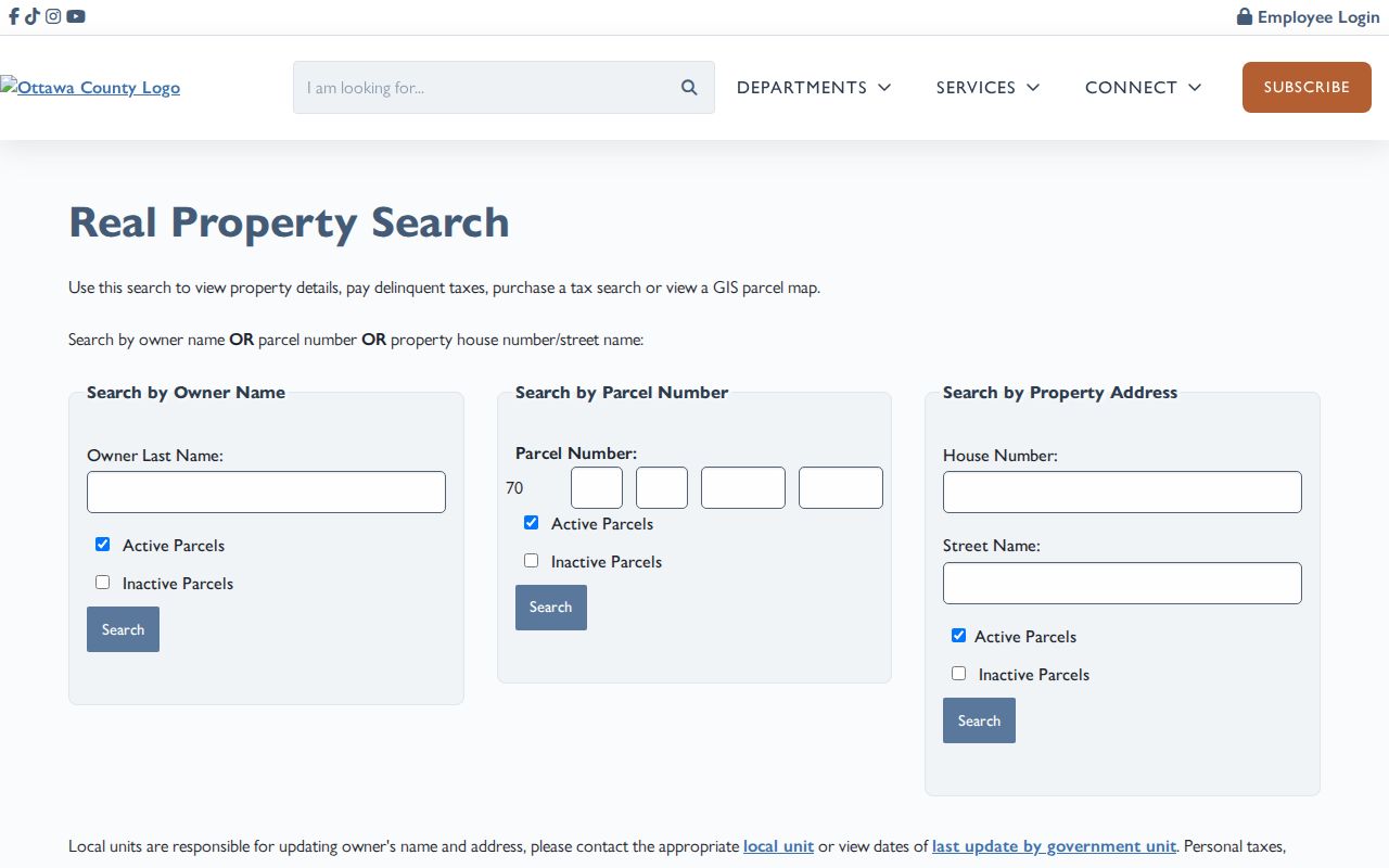
The form supports owner, parcel, and property-address modes, along with active and inactive parcel choices. A 100% PRE or QA field is an assessment exemption field, not proof of current occupancy. This is the key myth to avoid when comparing Holland Township neighbors: a land record documents the parcel interest, not the whole household.
Note: Preserve the portal’s street spelling and the date of access, then keep any normalization in a separate research note.
Holland Township Voter Data Is Not a Block Roster
Michigan makes voter-registration records public through FOIA with important redactions, but the state’s individual MVIC lookup does not provide an official command to show all voters on a Holland Township block. It requires first name, last name, birth month, birth year, and ZIP for a known-person match. Township precinct maps can establish voting geography. They do not establish who belongs to a particular household or how every person in a precinct is registered.
A Qualified Voter File request is a separate written-data process through the Bureau of Elections. The request can identify jurisdictions, fields, and delivery method, with information such as name, residential or mailing address when available, birth year, registration date, status, voter ID, and history subject to the governing rules. Driver or state-ID numbers, month and day of birth, phone, email, digitized signature, SSN digits, registration-source information, and Address Confidentiality Program material are withheld.
Use the Holland Charter Township maps for precinct and geographic context, and use MVIC only to verify an already known person. A voter record does not confirm that the person currently lives there or that everyone at the address appears in the file.
Holland Township Community Clues
Holland Charter Township does not publish a resident-membership directory or a township-wide neighborhood-association directory. That absence matters. Planning names can help orient a search, but they are not proof of an incorporated association, membership, or a person’s address. The Unified Vision plan names Pine Creek, Creekside, Rose Park, New Groningen, Beechwood Vista, Westshore Community Hub, Federal Square, and Adams Street as planning or community nodes. Treat them as map terms, not a list of Holland Township neighbors.
| Local resource | Useful block context | Limit |
|---|---|---|
| HCT Unified Vision plan | Planning nodes, corridors, and place names | Not an association or membership directory |
| Township board minutes | Public projects, appointed roles, and meeting participation | Event records do not identify everyone nearby |
| Community Development | Permits, planning, zoning, and code-enforcement route | No public online permit-case lookup was located |
| Herrick District Library and Holland Museum | Historical households, organization names, newspapers, maps, and family files | Ask by person, address, year, or collection; access varies |
Public meetings, park groups, churches, and historical collections can supply context for a Holland Township block. They should not be treated as a substitute for a verified parcel record or as evidence that a private person belongs to a group.
Official Holland Township Neighbor Sources
Official and commercial neighbor-search categories answer different questions. County GIS, property cards, deed indexes, clerk records, and library archives identify their custodian and the limited record they actually hold. Commercial products may combine public records, data resellers, directories, marketing files, and user-submitted material. They can repeat an old address, merge same-name people, or obscure the underlying source. For Holland Township neighbors, keep the primary link beside the fact so the record can be checked again.
| Official record route | Commercial compiled category | Best practice |
|---|---|---|
| Parcel GIS and property card show cited parcel fields | May merge addresses and identities from mixed sources | Confirm owner, situs, mailing, and jurisdiction with Ottawa County |
| Deed index shows a recorded transaction and date | May describe an old transfer as current information | Check the recorded document and subsequent parcel history |
| MVIC and QVF follow statutory match and privacy rules | May imply a broad household connection | Use a known-person check and do not create a block roster |
Michigan does not have a universal state deletion right in the official consumer source reviewed for this research. A person seeking removal from a commercial profile generally must use that service’s own privacy or opt-out route, complete its requested verification, retain confirmation, and re-check later. The original custodian remains the right place to correct an official record.
Privacy Limits for Holland Township Neighbors
Many facts about Holland Township neighbors are outside the public block chain. Parcel records do not list all occupants. Utility customers, delivery data, protected-address participants, and private association membership are not a general public directory. The Michigan Address Confidentiality Program provides a substitute address and mail forwarding for eligible people at risk of harm. A protected address in one system does not prove the person is hidden in every historical or county record, so the safe response is to ask the appropriate custodian about the record’s rule.
A focused Michigan FOIA request can seek an existing document by parcel, project, date range, or case number. It cannot require Holland Charter Township to create a new list of people from several systems. Ask for inspection or a redacted copy when full disclosure is not allowed, and contact the original custodian when a parcel, voter, court, or vital record appears wrong.
Lawful use. Use Holland Township neighbor records for personal, lawful research and community context. Michigan’s stalking law, MCL 750.411h, does not allow addresses or public records to be used to harass, intimidate, pressure, or repeatedly contact anyone.