
Walk a Holland Township Street by Address
A Holland Township street directory search starts with a precise address, not a name. The county property form accepts a house number and street name, then returns the parcel information that joins the other records. Record the property address, parcel number, owner name, active status, and Government Unit before moving on. The key jurisdiction value is “17 - HOLLAND TOWNSHIP” where it applies. A Holland postal line by itself can also describe the City of Holland, Park Township, Olive Township, or another nearby unit. This first check avoids joining a street record to the wrong local government.
- Open the Ottawa County Real Property Search and enter the house number with the normalized street name. Check active and inactive parcels when an older address, split, or demolished building is involved.
- Save the parcel number, situs address, owner field, legal description, and Government Unit from the returned property card. The parcel number is the stable bridge when street labels change.
- Use the county parcel map to inspect the street geometry and select the matching polygon. Compare the map result with the property card instead of treating the map outline as a survey.
- Search the parcel and owner in the Register of Deeds index. Capture the record date, document number, document type, liber and page, related document, and party fields.
- For an earlier household, consult the historical street and reverse-directory layer. The Holland Township city directories provide the collection detail, while this workflow keeps the address as the organizing key.
Michigan’s voter lookup is a separate personal confirmation tool. It requires a known person’s first and last name, birth month, birth year, and ZIP. It is not a public browse-all list for a street, so it should never be used to turn a property list into a household roster.
Search Holland Township Street Records in miOttawa
The Ottawa County Real Property Search combines Equalization, Treasurer, and local-unit data. It supports owner-last-name, parcel, and address modes. For a street search, use House Number and Street Name rather than guessing from an owner field. The property card can show a property or situs address, mailing address, owner, parcel number, local-unit update date, valuation fields, classification, sales history, split history, and tax description. Holland Township’s assessor handles local ownership and address updates, so a current conflict on the county card should be checked with that local office.
| miOttawa search field | How it works | Useful street-search detail |
|---|---|---|
| Owner Last Name | Conditional text field | A person key, useful after the address result identifies an owner. |
| Active or Inactive Parcels | Optional checkboxes | Check both when a lot was split, merged, or is no longer active. |
| Parcel Number | Segmented conditional field | County parcel numbers begin with 70 and must follow the card’s displayed format. |
| House Number | Conditional text field | Use the numeric street address in address mode. |
| Street Name | Conditional text field | Use the normalized name, then try a direction or suffix variant if needed. |
The county property search form shown below is the address entry point for a Holland Township by-address search.
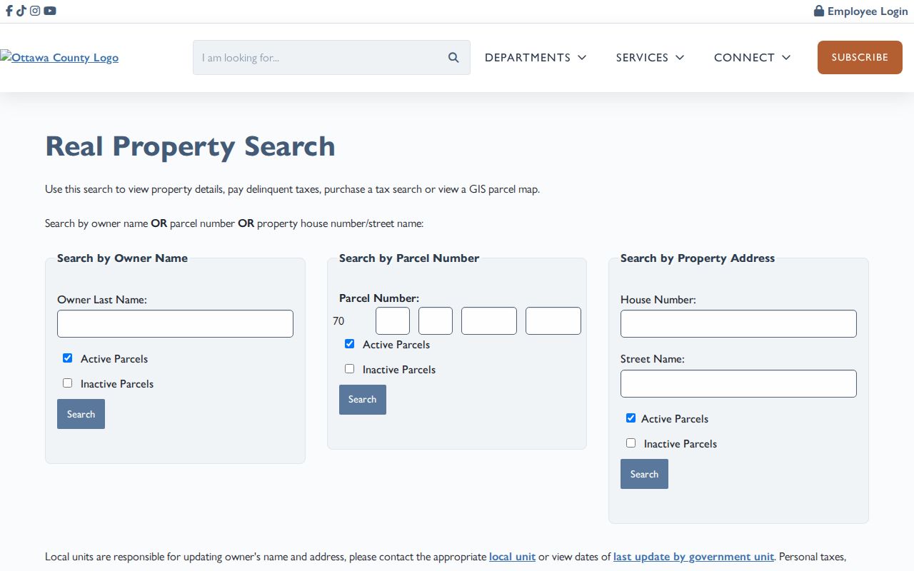
Once a card opens, preserve its displayed address spelling and parcel key. The county notes that local units update owner names and addresses, which is why the Holland Township assessor is the correction route when a recent change has not reached the shared record.
Map Holland Township Parcels by Street
Ottawa County’s Parcels Public map service is the visual companion to the property card. Its public attributes include parcel identification, owner, property address, mailing address, legal description, property class, school district, government unit, acreage, value fields, and principal-residence-exemption data. Pan along a road, select a polygon, and use the selected parcel to return to the property record. Roads, aerial imagery, zoning, school, precinct, floodplain, and municipal-boundary overlays can give geographic context, but only the parcel record and deed establish the record trail.
The service exposes text and expression search, geometry, spatial relationship, distance, output-field, and pagination controls. A researcher can use a boundary or distance query to study nearby parcels, but should set a clear geographic rule and record the access date. The service’s maximum record count is 2,000, so a broad query still needs sensible limits.
The Ottawa parcel viewer image captures the map-based layer used to locate the relevant Holland Township parcel.
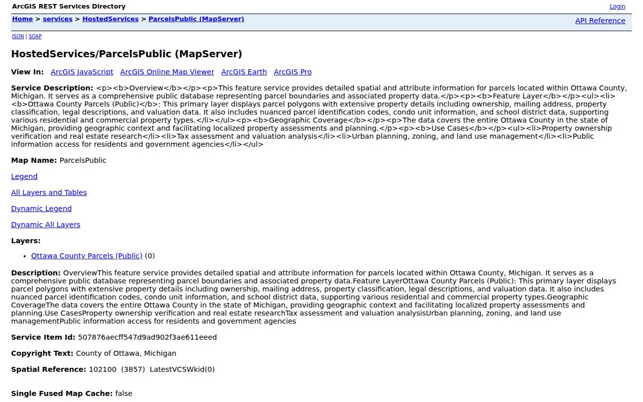
The map is most helpful after the address search has supplied a parcel number. A shared boundary can represent a road, drainage tract, condominium area, or other non-household land, so a polygon should not be treated as proof of a household.
Holland Township Records Searchable by Street
Address evidence comes from several custodians, each with a different job. The property card supplies the current parcel framework. GIS supplies the spatial view. Recorded documents connect parties and legal descriptions over time. Township permit and zoning files can add a job-site date or work description. No single item states every person at an address, and the strongest Holland Township result keeps those categories distinct.
| Address-keyed source | Custodian | What it can show | Access route |
|---|---|---|---|
| Property and assessment card | Ottawa County and Holland Township Assessor | Owner, mailing and situs address, values, legal description, sales and splits | Public county portal; local assessor for corrections or history |
| Parcel GIS | Ottawa County GIS | Parcel geometry, PIN, public owner/address fields, and overlays | Public map service; not a legal survey |
| Deed index and images | Ottawa County Register of Deeds | Parties, record date, type, instrument, liber/page, parcel, related document | Free index; image fee; counter and email alternatives |
| Plats | Ottawa County Clerk/Register of Deeds | Subdivision, lot/block, master deed, and plan context | Public PDF plat search and counter service |
| Permits and zoning | Holland Township Community Development | Job-site, owner or agent, work or use, and date in the file | Request by address or parcel; no public online person search located |
Historical directories and census records add a time-bounded household clue, not a replacement for the land record. The deed and parcel trail remain necessary when an older street listing uses a different form of the address.
Holland Township Street Address Terms
Reading Holland Township address evidence is easier when the address vocabulary stays separate. A property card can contain several correct-looking locations that mean different things. That distinction matters when the owner has mail sent elsewhere, when a condominium has a master deed, or when an older document describes a lot instead of a street number.
- Parcel or PIN
- The county’s parcel identifier. It begins with 70 in Ottawa County and joins the property card, GIS, tax, deed, and plat records.
- Situs address
- The physical location used for assessor, GIS, and permit purposes. It is not necessarily the owner’s correspondence address.
- Mailing address
- The address used for tax or owner correspondence. It can be elsewhere, a post office box, a business, or an agent address.
- Plat
- A recorded map that identifies a subdivision, lot, block, or condominium plan. It helps bridge a legal description and a modern street address.
- Criss-cross directory
- A reverse directory arranged by street and house number. Bresser volumes generally list heads of household, phone, tenure notation, and first-listing or relocation clues.
A 100% PRE/QA exemption field is not a current occupancy census. It is assessment information consistent with a claimed principal-residence or agricultural exemption. Likewise, a recorded deed owner is not a complete list of people who may be at that address.
Follow Holland Township Deeds by Parcel
The Ottawa Register of Deeds search is indexed by name, recording date and document type, liber and page, instrument number, or parcel number. It is not a simple street-address index. Begin with the parcel number and current owner from the property card, then search the deed index. Results display Record Date, Party 1, Party 2, Doc No, Doc Type, Liber & Page, Parcel No, and Related Doc. The public index is free; images cost $1 per page plus technology or convenience charges, and the page limits results to 200.
Use date or document-type limits when a name or parcel produces too many results. A document number containing the letter U has no online image. If the web layer stops, the Register of Deeds offers counter, phone, and email channels, and historical FamilySearch catalog coverage documents Ottawa deed records from 1834 to 1939 with an index from 1834 to 1901. The online portal does not publish an official starting year, so an absent result does not prove that a deed never existed.
The Register of Deeds form below shows the parcel, party, document, and book-page routes that support a street-by-street chain.
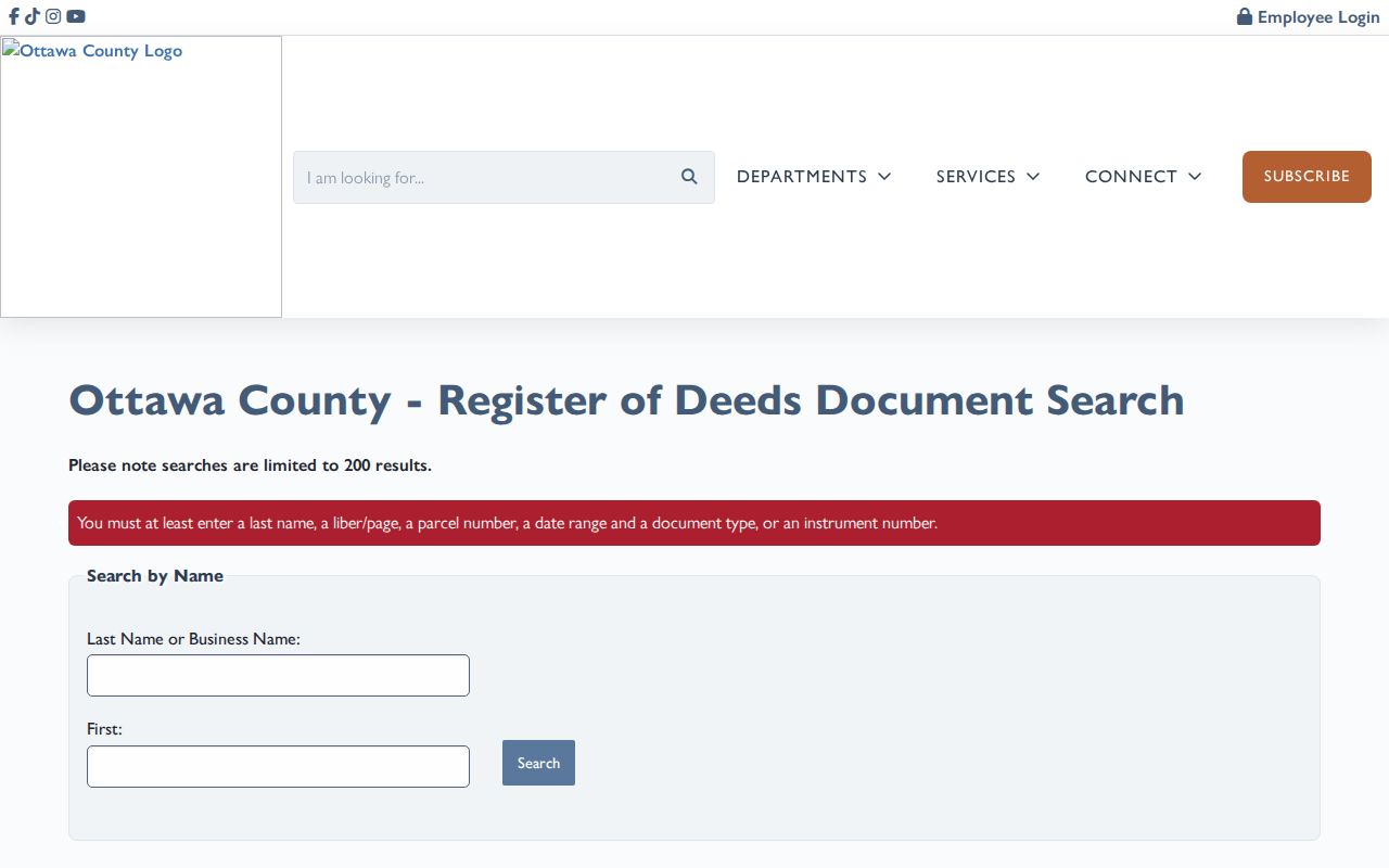
The useful output is a parcel evidence trail: address, PIN, government unit, displayed owner, legal description, document reference, and source. It is more accurate than asserting that an address search identifies every current resident.
Read Holland Township Street Directory Volumes
Printed Holland titles can include township or rural coverage, but a title alone does not prove that every Holland Township street appears. Check the volume’s geographic introduction and street section. The Library of Michigan city-directory guide explains that Polk directories have surname, street, and phone access. Their street pages are alphabetical by street and then house number. Bresser is the later reverse or criss-cross layer, generally beginning in the late 1960s, with street name and house-number order, head of household, phone, tenure notation, and first-listing or relocation clues.
For a Holland Township address before that period, use the documented Kanter volumes from 1894, 1897-98, 1901-02, 1903-04, and 1913-14, the 1908 Ottawa County gazetteer, or the 1924-25 multi-community rural directory when the geography fits. These items can put a name at an address in a particular edition. They do not establish title ownership, and a later Bresser entry cannot fill a nineteenth-century gap.
Note: Preserve the street spelling and house number shown in each volume, then test that form against plats, deeds, and the current parcel description.
Holland Township Street Permit Context
Holland Township Community Development files can date work at a job site. Residential forms request owner contact, job-site address, lot number, plat, and a detailed work description. Commercial forms can request a tax parcel, owner or lessee, project professionals, and project cost. A permit can help explain when a structure, addition, demolition, or subdivision activity appears in the record. It does not prove who occupied the property. No public online permit-case lookup was located, so the documented fallback is a request to Community Development or a township FOIA request by address, parcel, date range, or project number.
The City of Holland’s historic-property research page is arranged by district, street, and address and may identify original owners, construction dates, photos, and significance for listed city historic districts. It is a useful referral for a qualifying city property, not a complete Holland Township file. Township parcels should still be checked against township assessor records, township maps, the museum, and the county parcel system.
Holland Township Street Geography Check
The Holland area combines city-grid streets with township roads and avenues. Township map materials identify roads such as 120th Avenue, 112th Avenue, 104th Avenue, 100th Avenue, 96th Avenue, Riley Street, Lakewood Boulevard, James Street, Douglas Avenue, Beeline Road, and the US-31/I-196 corridors. Use those labels as search terms, then verify the property card’s Government Unit. ZIP codes and postal place names are not city-limit tests.
Holland Township was created in 1847. Its history records a road relocation connected with Groningen in 1856 that moved enterprises to New Groningen. That is a legitimate historical geography clue when an older record uses a settlement name. No verified Holland Township street-renumbering or renaming list was located, so a number change should not be invented to explain a missing address.
The county neighborhood parcel map illustrates the selection view used when checking the immediate road and adjoining parcels.
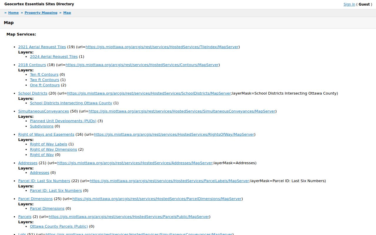
Use the surrounding parcels only to orient the search. A map edge, shared drive, or common area does not establish a relationship between the people associated with nearby records.
Limits of Holland Township Street Directory Evidence
A Holland Township by-address search can identify public parcel and recorded-document evidence. It cannot provide a complete list of everyone at an address. Public property records show titled interests, not every occupant. Utility customer lists are not a public resident directory, and Michigan driver and vehicle address data are protected. The Michigan Voter Information Center is an individual lookup that requires a known name and matching birth month, birth year, and ZIP. It does not offer a street-wide public roster, and ballot choices are secret.
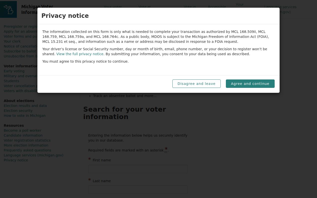
The Michigan voter lookup image shows the individual fields required before a registration result is returned.
Michigan voter records are public under defined rules, but several fields are withheld, including driver or state-ID numbers, month and day of birth, phone, email, digitized signature, and certain registration-source information. Address-confidentiality protections also apply. The individual lookup is separate from a written Qualified Voter File request to the Michigan Bureau of Elections, which can specify fields, jurisdictions, and delivery method. Ask the original custodian about a correction or redaction issue rather than combining records into a public-facing resident list.
Lawful use. Use Holland Township address records for personal, lawful research and verify material facts with the custodian. Never use an address trail to stalk, harass, intimidate, or harm anyone.